asphalt | gravel |
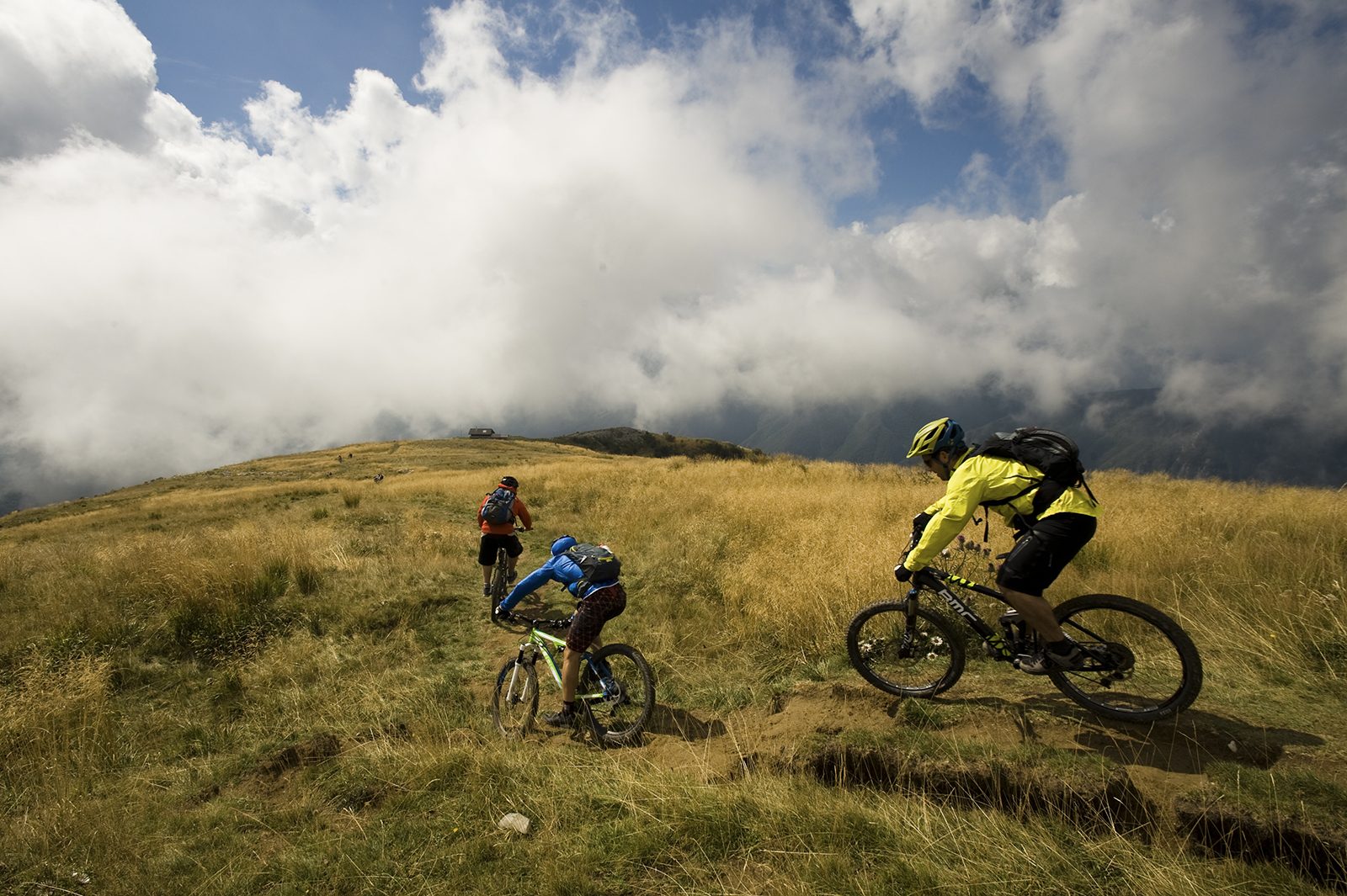
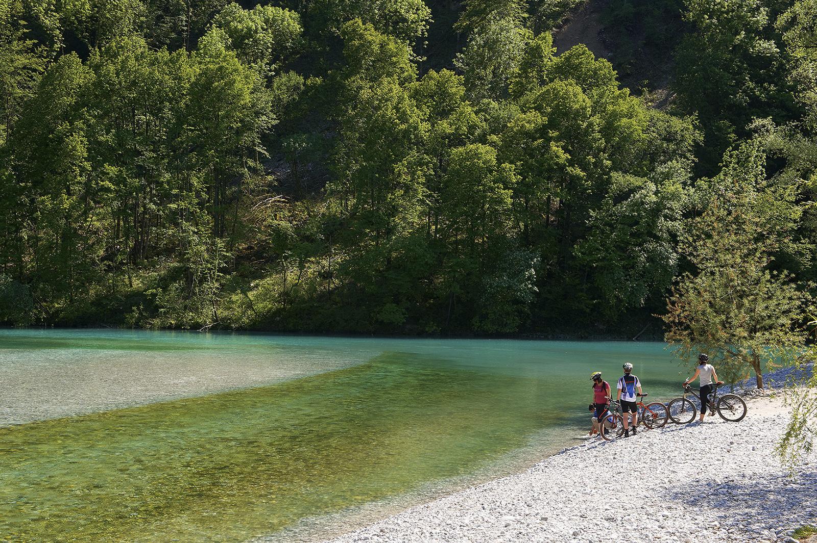
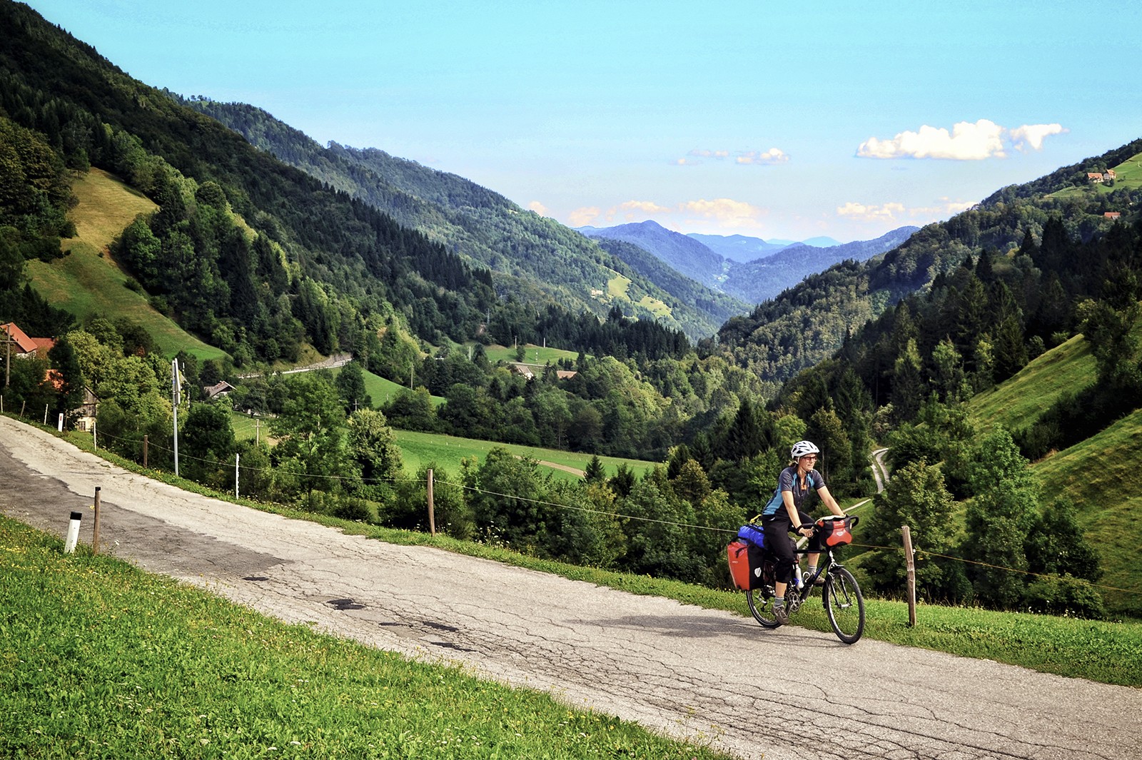
This trail follows the symbols of the Venetian Slovenia, river Nadiža and the dominant Mt. Matajur, along the main of the Natisone valleys which connects the city of Cividale with the Soča valley and allows you to admire the temple on Stara Gora on your right side. The trail is routed upstream the smaller, warmer and bather-friendlier of both emerald rivers which will accompany you along the entire trail. Along the trail you will notice bilingual signposts which indicate that you are cycling through a bilingual area with dense Slovenian community. Except for some very short sections, the trail runs practically on flat terrain as it never moves far from both rivers. The section around the former border crossing in the ravine between Mt. Mija and Mt. Matajur is the most sparsely populated, but the richest in forests and wildlife along the entire trail. In spite of the emigration which affected the higher altitude villages, the »burnjak« chestnut festival is still celebrated in the higher altitude villages.
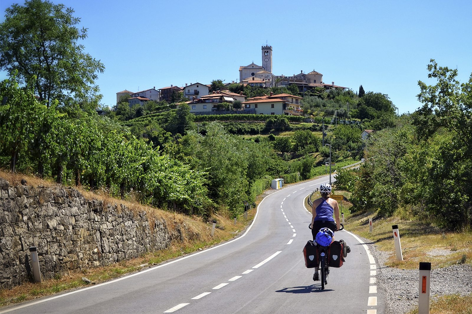
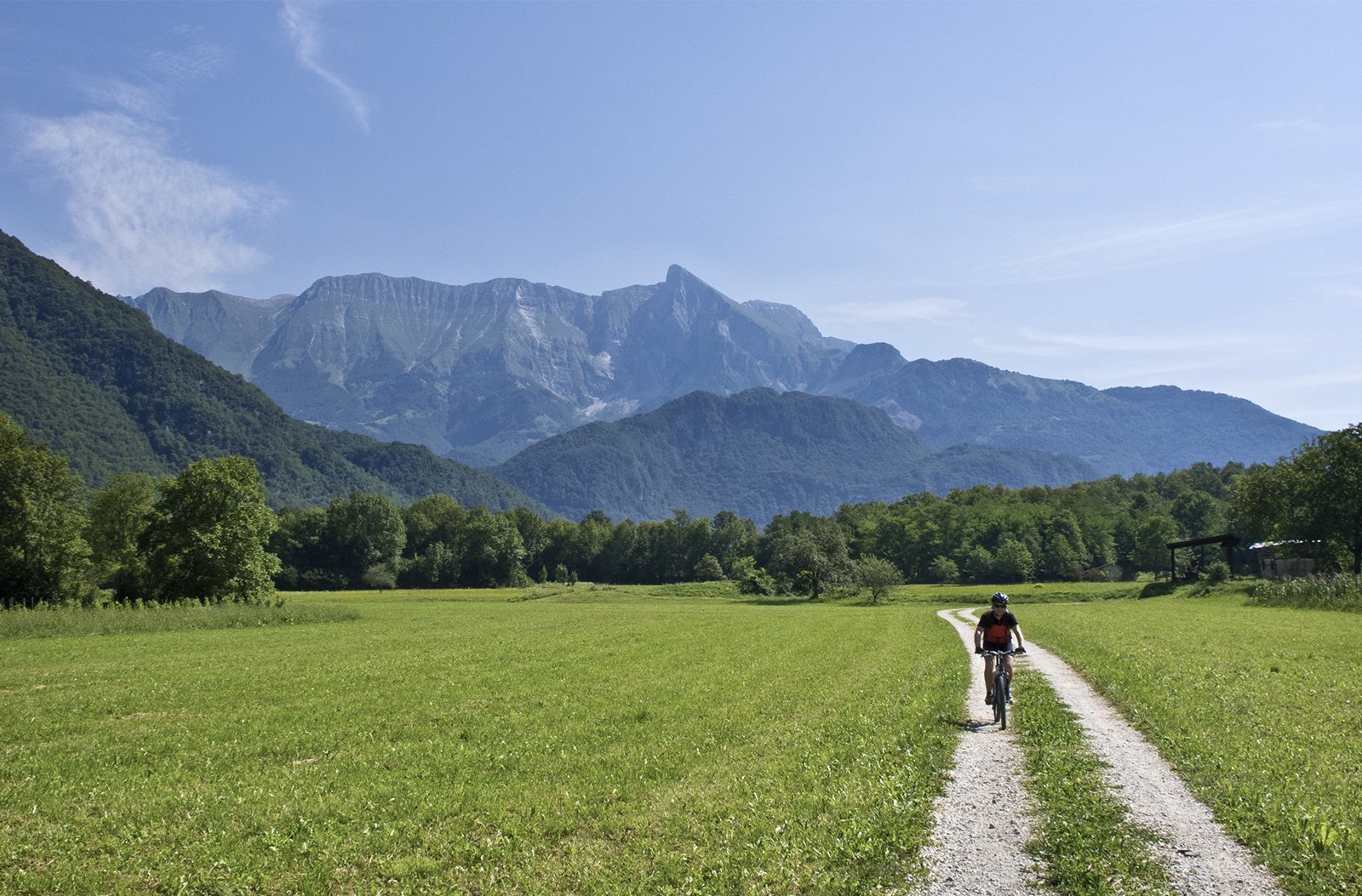
From the old centre of Cividale you will follow the cycling trail routed above the left bank of the river Natisone leading towards the village of Ponte S. Quirino where you will cross the river and continue cycling through the villages of Vernasso, Spagnut, Biacis and Lasiz. Along the route, your trail will be joined by the connecting trail coming from the Breginjski kot valley and will later include the junction towards the San Giovanni D'Antro Cave. The opposite bank of the river includes the village of San Pietro al Natisone which with its bilingual school and the Venetian Museum represents a cultural centre of the Venetian Slovenians. To cross the former border crossing in Robič you will have to turn on the main road in the village of Loch. In the past, the route between Cividale and the town of Kobarid also included a railway connection which was later cancelled. The only present day remnants of this railway connection are the rare remains of the railway line and the railway station in the village of Stupizza. In these few kilometres you will leave the Friuli lowlands and enter the area beneath the high Alpine peaks where your trail will be guided by Mt. Matajur and Mt. Krn.
Just before you will reach the village of Robič on the Slovenian side of the former border, you will have a chance to refresh yourself in clear bathing pools of the river Nadiža. After reaching Robič, you will turn from the main road and continue across the Kobariško blato marshland. Here, you will part from the river Nadiža and continue under Mt. Matajur through the villages of Sužid and Svino, and later along the well-arranged gravel cycling trail towards Kobarid where you will reach the river Soča and the renowned tomb in the memory of the fallen Italian soldiers on the St. Anthony’s Hill with Mt. Krn in the background inviting visitors from afar. The villages under Mt. Krn and the upper part of the river Soča with the town of Bovec are also sites worth seeing which you can visit by turning at the Napoleon bridge in the Soča Gorge, whilst our trail will simply run along the stream of the river Soča through the villages on its left bank all to the town of Tolmin.
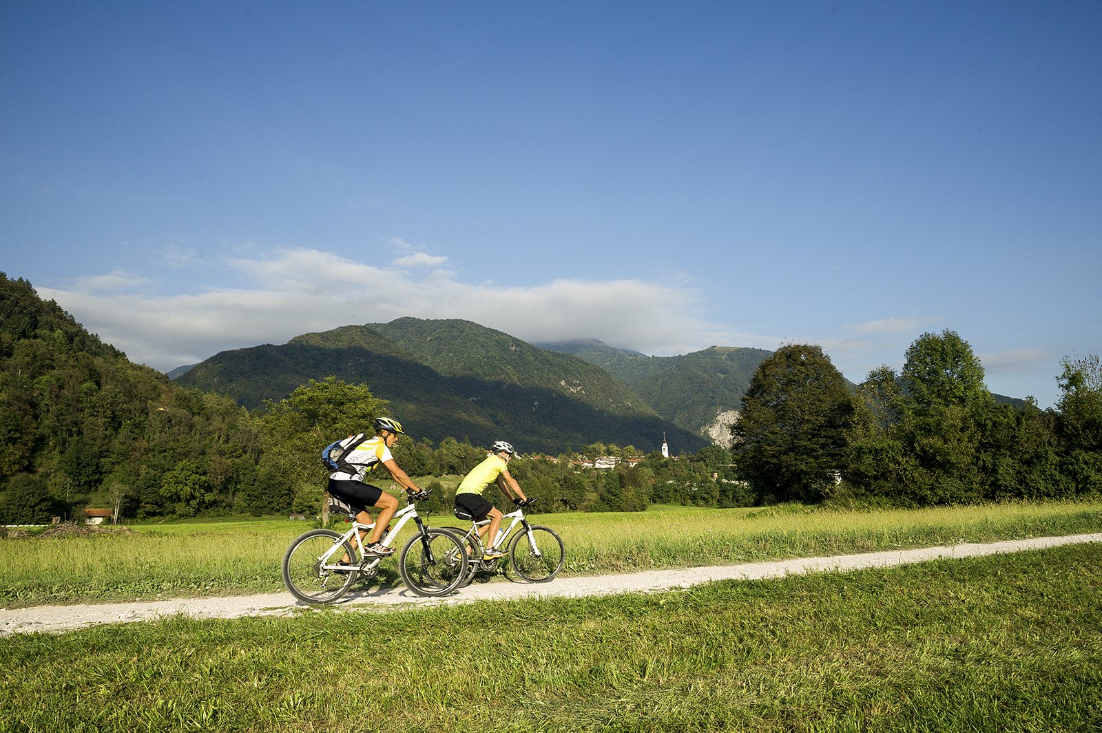
The road past the village of Ladra still offers splendid views of the Mt. Krn mountain chain and of the ridge of Mt. Kolovrat on the other side of the river Soča where the bloody battles of the World War I took place. In Ladra you will turn from the main road and ascend to the small Church of St. Lawrence with the grave of the renowned poet Simon Gregorčič and great views over the river Soča. From here, you will follow the main road through the villages of Kamno and Volarje, whilst in the following village of Gabrje you will have a chance to follow the Alpe-Adria Trail. Before arriving to Tolmin with the remnants of the old castle on the hill above it you can make a small detour by turning left in the village of Dolje and by visiting the Tolmin Gorges located past the village of Zatolmin. From here, you will continue towards Tolmin directly past the World War I cemetery in Loče and when you will reach Tolmin you will, at the same time, complete a part of the circular trail around the town.


 22°C
22°C