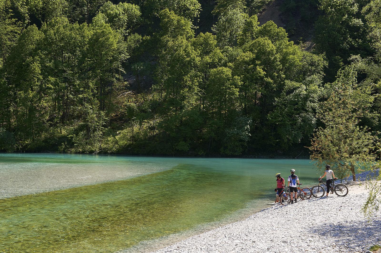
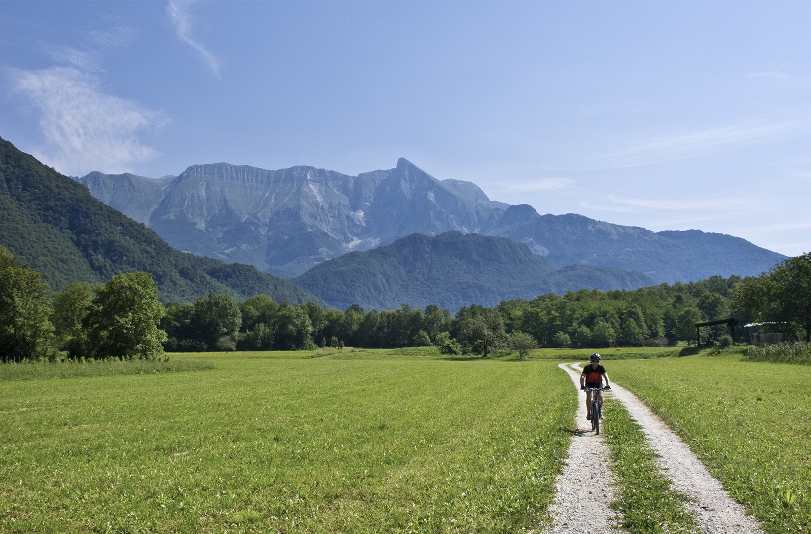
This 20 km long glacier valley by the Resia brook is surrounded by the mighty Mt. Kanin and is open only to the west towards the Friuli region. The only turn from the main valley road is an ascending road leading across the Carnizza pass on the Cime del Monte Musi mountain range which then descends to the Uccea valley. The northern part of the municipality of Resia is protected by a ridged mountain crest with the three-headed Mt. Sard reaching from the top of Mt. Kanin (2.587 m), whilst the southern part is protected by the ridge of the sharp Cime del Monte Musi mountain range.
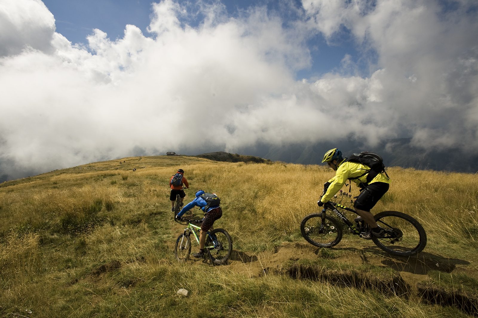
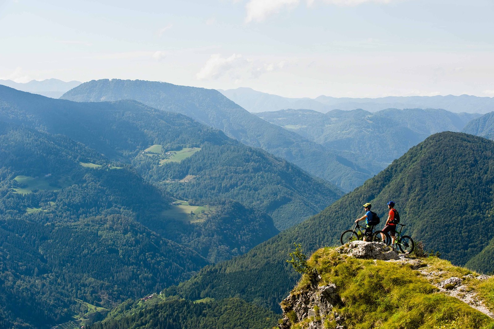
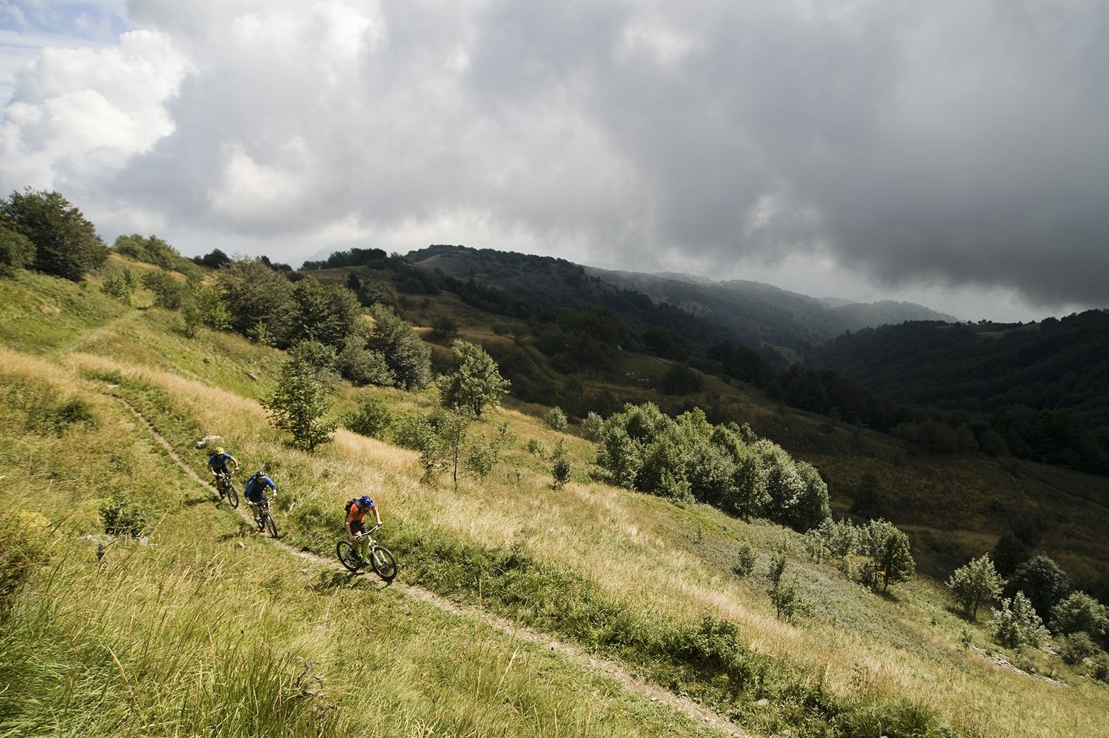
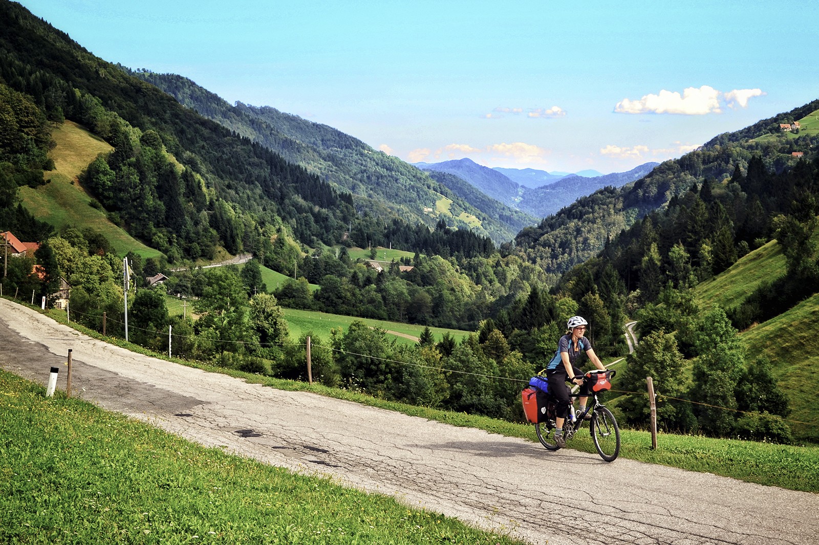
Names of villages on bilingual signposts are written in the Resian dialect and in the Slovenian language. The Pusti Gost tour is technically and physically quite demanding. You won't meet many people along this tour, except perhaps at the Sagato mountain hut. As the experienced backcountry cyclists can say, this is one of the best tours in the area of the Western Julian Alps. The trail starts from the Sports Centre and leads along the paved road by the river towards the village of Prato di Resia where the road turns into a steeply ascending gravel road which gradually becomes gentler. From the Sagato mountain hut, the road includes some concrete ascents, of which the first few are somewhat normal, whilst the last one is almost vertical. At the altitude of 1.200 m, you will turn from this road and continue along the forest road where you will have to push your bicycle a few times, just like you will hate to push it for the last 100 metres of the height difference. After you will re-join the route 643, you will descend along a very nice old military mule trail with some short technical parts which will perhaps make you step down from your bicycle. At the end of the descend you will reach the village of Stolvizzo where you will turn on the up and down trail routed above the right bank of a tributary of the river Resia back to your starting point.


 22°C
22°C